Humboldt Bay King Tide Photo Initiative 2016-17

The highest tides this winter - known as King Tides - will occur on Oct. 17, Nov. 17, Dec. 13-14, Jan. 11-12.
To help document this year’s King Tide, All you need is a camera or a smartphone. Submit photos to
Be very cautious of rising water, eroding shoreline, flooded roadways, and high winds during any extreme high tide events.
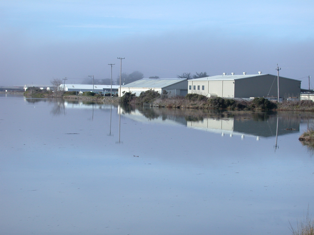
Photo by Saroj Gilbert, South I Street in Arcata, 10-28-15.