The Humboldt Bay area is experiencing the fastest rate of relative sea level rise on the West Coast. That's because tectonic activity is causing the ground beneath the bay to sink at the same rate that the ocean is rising. According to the California Ocean Protection Council's 2024 Science & Policy Update, sea level in the Humboldt Bay area is expected to rise approximately 1.5-2 feet above 2000 levels by 2060 and 3.9-5.5 feet by 2100. The primary impacts from sea level rise are increases in flooding, erosion, and rising groundwater. Sea level rise will expand areas vulnerable to flooding during major storms, as well as in the rare but catastrophic event of a major tsunami. The term 100-year flood is used as a standard for planning, insurance, and environmental analysis. But these extreme storms are happening with increasing frequency, in part due to rising seas. Sea level rise will cause more frequent—and more damaging—floods to those already at risk and will increase the size of the coastal floodplain, placing new areas at risk to flooding. To view sea level rise scenarios for the Humboldt Bay area, visit NOAA's 2022 Sea Level Rise Viewer and go to the local scenario for the North Spit. NEW! Now you check out our interactive map of two sea level rise scenarios for the Humboldt Bay Area! Featured are scenarios showing 1- and 2-meters above Year 2000 water levels. For many years, these have been static maps with no simple way for the public to examine points of interest. Now, people wondering if their neighborhood is at risk can zoom in on locations and see street names, etc.
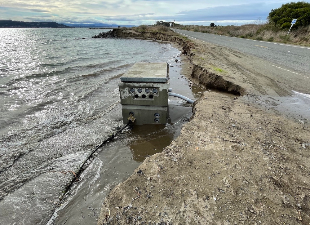
The highest tides of this winter (known as King Tides) are predicted on Friday & Saturday, January 20-21. These tides may be much higher than predicted due to the southerly winds and Eckman Transport, which piles water up along our coast. Please USE EXTREME CAUTION when viewing the King Tides! And remember to wear bright colors so drivers can see you. To get involved, all you need is a camera or a smartphone. Submit your photos to This email address is being protected from spambots. You need JavaScript enabled to view it. or upload them to the California King Tide Photo Project. Photo:Erosion along New Navy Base Road in Samoa dislodged a PG&E vault during the December 23-24 King Tides.
Read more …
King Tides are coming on Friday, Dec. 23 & Saturday, Jan. 21. To get involved, all you need is a camera or a smartphone. Submit your photos to This email address is being protected from spambots. You need JavaScript enabled to view it.. Photo:Waves crash over the South I Street parking lot and boat ramp at the Arcata Marsh, Jan. 3, 2022. Photo by Kristen Orth-Gardinier.
Read more …
In early January, extreme high tides (known as King Tides) coincided with a major storm, resulting in many dramatic images submitted by volunteers that reveal the vulnerability of roads, bridges, and other low-lying infrastructure around Humboldt Bay.
To see some of the best submitted photos from the 2021-22 King Tides, check out our King Tides Photo Album 2021.
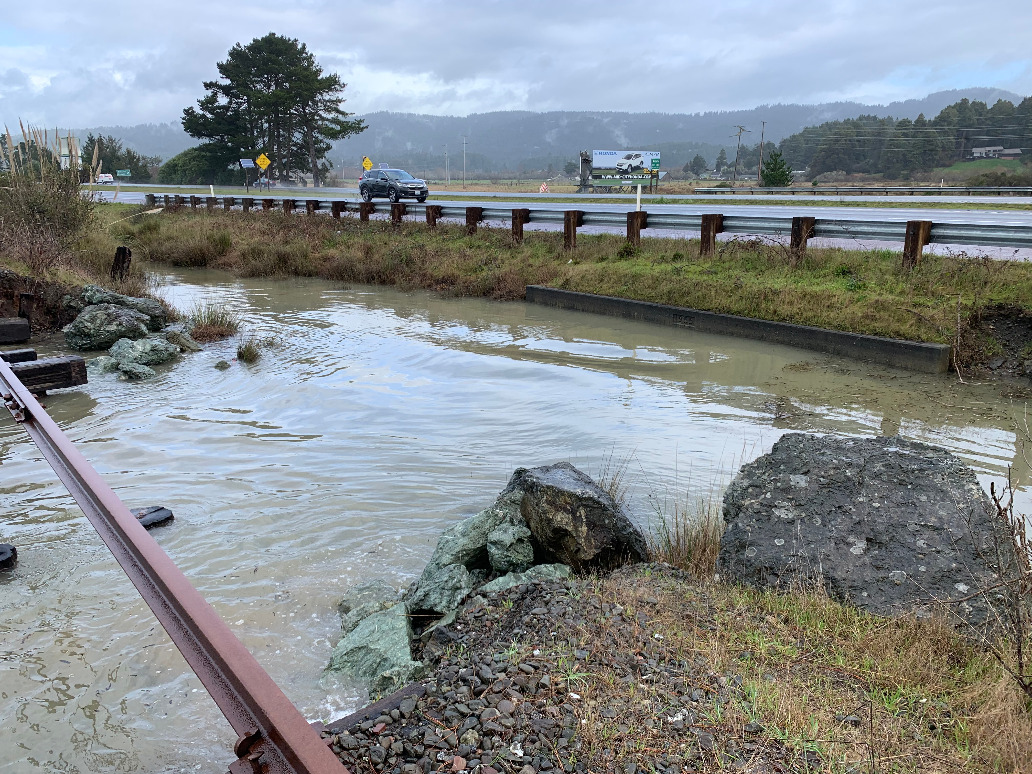
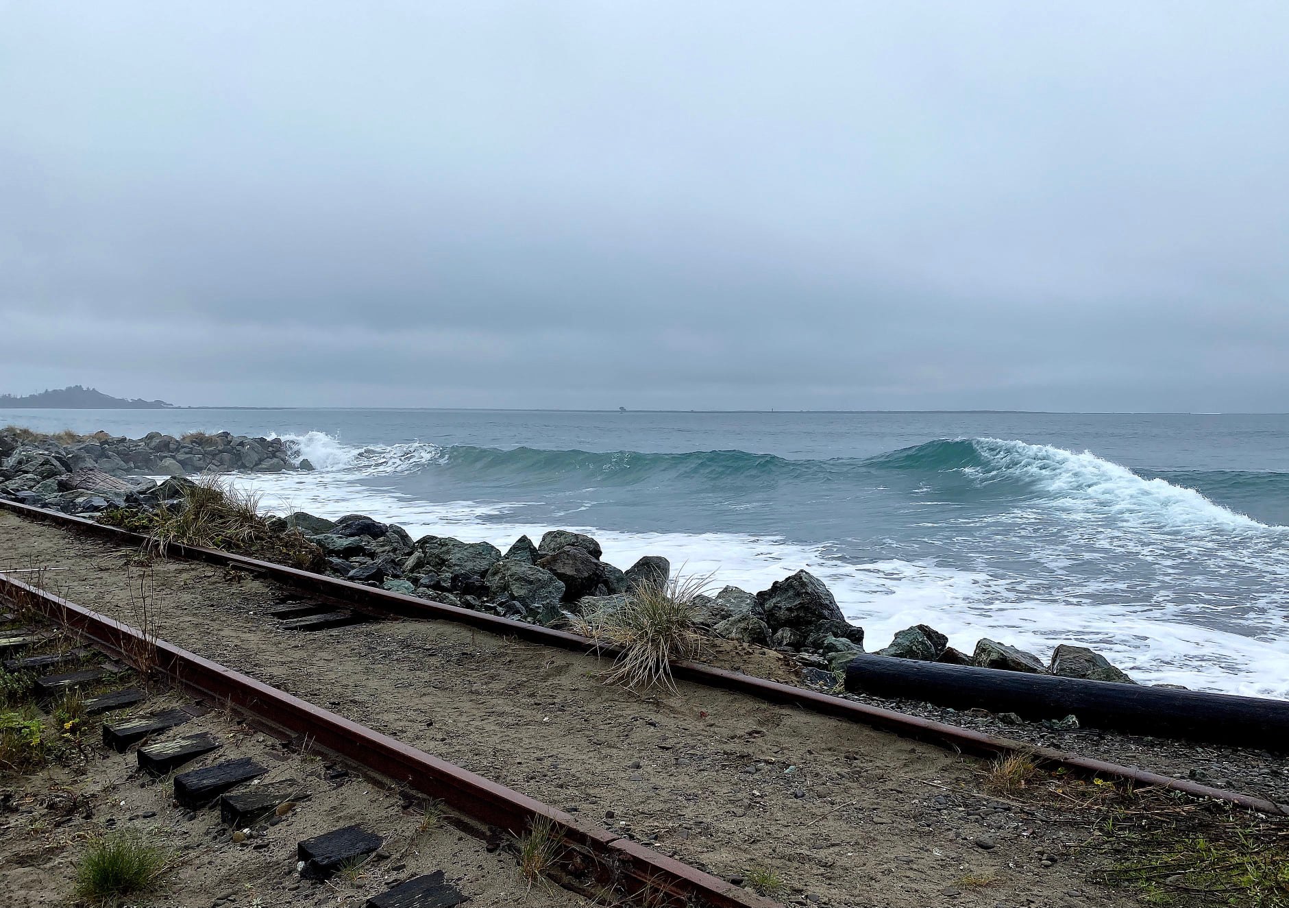
Photo: King Tide waves near the old railroad tracks across from the bay entrance (south of Elk River). Robin Gray-Stewart, 12-4-21.
Read more …
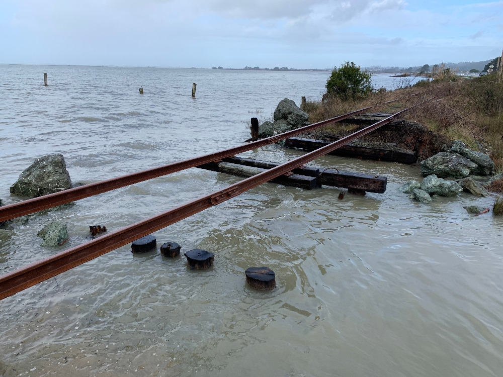
UPDATE: To see some of the best submitted photos, check out our King Tides Photo Album 2021.If you missed it, there will be another set of King Tides on January 1-3. The highest tides of the year (known as King Tides) are coming Saturday & Sunday, December 4 & 5, and all you need to get involved is a smartphone or a camera! This year, we are focusing on the old railroad tracks around Humboldt Bay. Built over a century ago when sea level was 18 inches lower than it is today, the railroad hasn't operated in decades. But coal interests are scheming to seize the railroad from the State of California to export coal to Asia via Humboldt Bay. Visit NoCoalInHumboldt.org for more info on the growing coalition fighting this terrible proposal. Photo: Erosion along the rail line near Bracut Industrial Park, Jan. 11, 2020.
Read more …
The third wave of this winter's King Tides are coming on January 11-12, 2021. Please join our King Tide Photo Initiative to help document rising sea levels around Humboldt Bay! Photo:Expanding erosion under the railroad dike next to Highway 101 at Bracut, Jan. 11, 2020.
Read more …
 The highest tides of this winter (known as King Tides) are predicted on Friday & Saturday, January 20-21.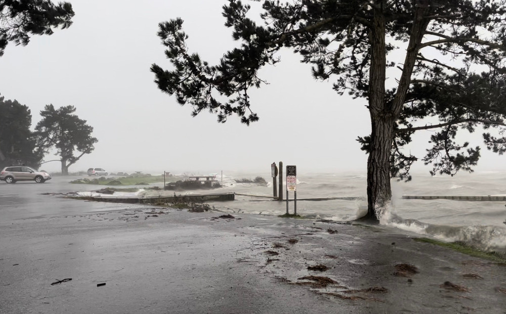
 In early January, extreme high tides (known as
  UPDATE: To see some of the best submitted photos, check out our