Sea Level Rise and King Tides at Eureka Slough
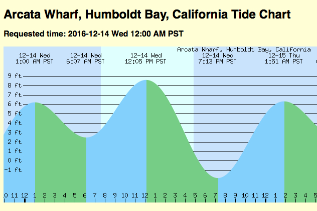
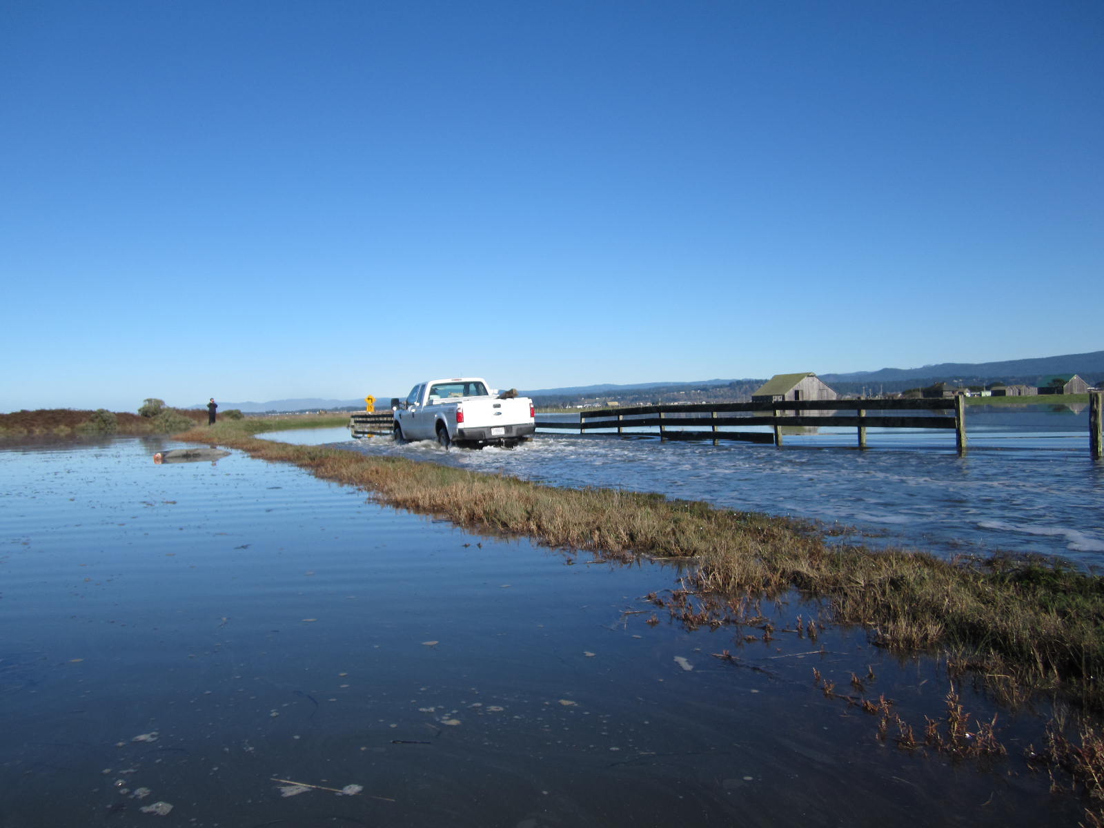
 King Tides are the highest tides of the year which happen during full or new moons around the winster solstice. They provide a glimpse into the future, when higher tides will become more frequent as sea level rises.
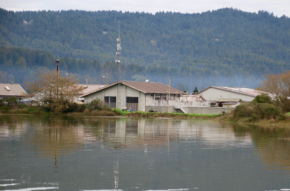
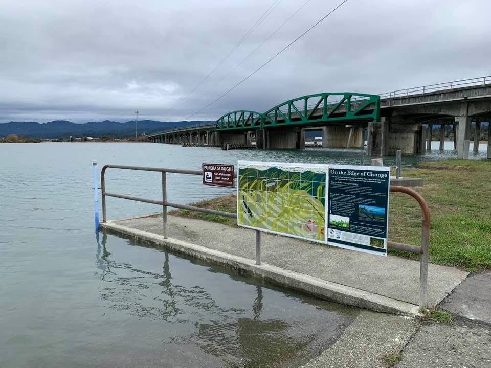
On the north end of Eureka, along Eureka Slough just behind Target, there's a pole showing the height of the water level. And there's a sign explaining the relationship between certain water levels and scientific projections of sea level rise.
 Another set of King Tides are coming on February 8-9. Please join our