Humboldt Waterkeeper
  • About Us
    • Our Mission
    • Waterkeeper Alliance
  • Humboldt Bay
    • Geography
    • Wildlife
    • Bay Issues
    • Photo Gallery
  • Programs
    • Toxics Initiative
    • Water Quality
    • Bay Tours
    • Community Outreach
  • Get Involved
    • Report Pollution
    • Speak Out
    • Volunteer
    • Donate
    • Membership
    • Stay Informed
  • Contact Us
  • News
    • Latest
    • Press

Sea Level Rise

The Humboldt Bay area is experiencing the fastest rate of relative sea level rise on the West Coast. That's because tectonic activity is causing the ground beneath the bay to sink at the same rate that the ocean is rising. According to the California Ocean Protection Council's 2024 Science & Policy Update, sea level in the Humboldt Bay area is expected to rise approximately 1.5-2 feet above 2000 levels by 2060 and 3.9-5.5 feet by 2100. 
The primary impacts from sea level rise are increases in flooding, erosion, and rising groundwater. Sea level rise will expand areas vulnerable to flooding during major storms, as well as in the rare but catastrophic event of a major tsunami. The term 100-year flood is used as a standard for planning, insurance, and environmental analysis. But these extreme storms are happening with increasing frequency, in part due to rising seas. Sea level rise will cause more frequent—and more damaging—floods to those already at risk and will increase the size of the coastal floodplain, placing new areas at risk to flooding. To view sea level rise scenarios for the Humboldt Bay area, visit NOAA's 2022 Sea Level Rise Viewer and go to the local scenario for the North Spit. 
NEW! Now you check out our interactive map of two sea level rise scenarios for the Humboldt Bay Area! Featured are scenarios showing 1- and 2-meters above Year 2000 water levels. For many years, these have been static maps with no simple way for the public to examine points of interest. Now, people wondering if their neighborhood is at risk can zoom in on locations and see street names, etc. 


Shoreline encroachment and upcoming king tides threaten Coast Guard Station's water line; Water district starts emergency pipeline relocation

Details
Robert Schaulis, Eureka Times Standard
Sea Level Rise
22 November 2025
Created: 22 November 2025
In a special meeting Thursday morning, the Humboldt Bay Municipal Water District Board of Directors voted to approve an emergency pipeline relocation on the Samoa Peninsula. The project will relocate a stretch of pipeline that feeds county parkland and the U.S. Coast Guard Station Humboldt Bay.
That stretch of pipeline had been found to be damaged by recent high tides and is currently at risk of being undermined by king tides predicted to exceed 9 feet in early December.
Read more …

It's King Tide Season!

Details
Jennifer Kalt
Sea Level Rise
05 November 2025
Created: 05 November 2025
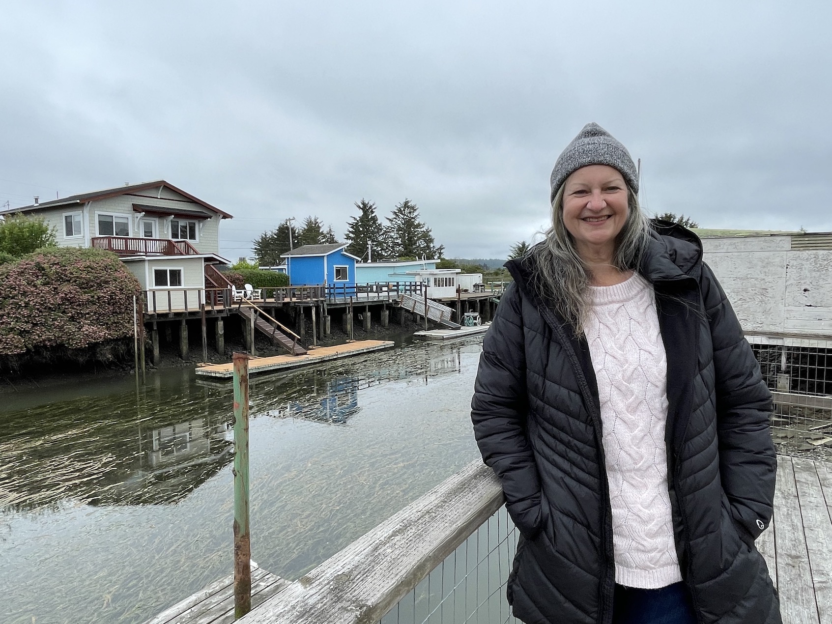
King Tides are here! Some very high tides are predicted on Nov. 6 & 7, although the highest tides of the year are expected in December & January. Last year, we released a special EcoNews Report series focused on communities at risk from sea level rise featuring interviews local experts and residents in the Humboldt Bay Area.
This year, we are unveiling StoryMaps with photos and maps to visually explore each episode to help us better understand some of the challenges ahead for our most vulnerable communities.
Episode 1: Is Humboldt Bay the Canary in the Coal Mine for Sea Level Rise? features Marnie Atkins, Jerry Rohde, Troy Nicolini, Adam Canter, and Nate Faith (left).
Read more …

New Research Investigates How Coastal Communities Can Break Down Silos to Fight Rising Seas Together

Details
Ute Eberle, California Sea Grant
Sea Level Rise
01 September 2025
Created: 01 September 2025
Humboldt Bay in Northern California is experiencing the fastest rate of relative sea-level rise on the entire West Coast of the United States. Already, the streets and yards in King Salmon, a former fishing village 100 miles south of the Oregon border, regularly flood during particularly high tides. It has made preparing for and adapting to sea-level rise (SLR) a matter of local urgency. And there’s no shortage of agencies and institutions working on it.
In fact, when two California Sea Grant-funded researchers recently listed every entity involved in SLR planning in Humboldt Bay, they counted over 30, including two cities — Arcata and Eureka — a regional harbor district, a county, fifteen federal and state agencies, three Indigenous Tribes as well as various academic, conservation and business groups.
Read more …

Land Is Sinking Fast Along Parts of the Coast, Worsening the Effects of Sea Level Rise

Details
Ezra David Romero, KQED
Sea Level Rise
26 February 2025
Created: 26 February 2025
The land at multiple spots along California’s iconic coastline is sinking at startling rates, compounding the flooding risks posed by future sea level rise from Humboldt Bay to San Diego, according to a new study led by scientists at NASA’s Jet Propulsion Laboratory.
The speed of the land sinking, or subsidence, helps show that regional estimates “largely underestimate” sea level rise in parts of the San Francisco Bay Area and Los Angeles. That adds a new layer of complication for cities along the 800-plus miles of coastline preparing for a far wetter future, while some are already dealing with flooding from climate-fueled storms and king tides.
Read more …

EcoNews Report: Rising Seas and the Future of Humboldt Bay

Details
Jennifer Kalt
Sea Level Rise
05 July 2024
Created: 05 July 2024
In the third episode of Humboldt Waterkeeper's special series on communities at risk from sea level rise, we hear from long-time residents and relative newcomers who share their thoughts and concerns about sea level rise. We are also joined by Laurie Richmond of the Cal Poly Humboldt Sea Level Rise Institute, which is a network of academics, tribes, government agencies, NGOs, private consultants, and civic and community groups working to envision the future of our region. How will we adapt to increased flooding and rising groundwater in low-lying areas? Whether we decide to protect certain areas, relocate critical facilities, or figure out how to live with rising water levels, major changes are on the horizon. The good news is that we have time to plan, and a lot of people are thinking deeply about these issues.
Read more …

More Articles …

  1. Choose your own sea-level rise adventure
  2. Hearing from the Californians on the Front Lines of Climate Change
  3. EcoNews Report: Can We Clean Up Humboldt Bay Before the Sea Rises?
  4. THE ECONEWS REPORT: Is Humboldt Bay the Canary in the Coal Mine for Sea Level Rise?

In the News

King Tide Photo Initiative

  • Start
  • Prev
  • 1
  • 2
  • 3
  • 4
  • 5
  • 6
  • 7
  • 8
  • 9
  • 10
  • Next
  • End

Advanced Search

Current Projects

  • Mercury in Local Fish & Shellfish
  • Nordic Aquafarms
  • Offshore Wind Energy
  • Sea Level Rise
  • 101 Corridor
  • Billboards on the Bay
  • Dredging
  • Advocacy in Action
  • Our Supporters
Report A Spill
California Coastkeeper
Waterkeeper Alliance
Copyright © 2026 Humboldt Waterkeeper. All Rights Reserved.