The Humboldt Bay area is experiencing the fastest rate of relative sea level rise on the West Coast. That's because tectonic activity is causing the ground beneath the bay to sink at the same rate that the ocean is rising. According to the California Ocean Protection Council's 2024 Science & Policy Update, sea level in the Humboldt Bay area is expected to rise approximately 1.5-2 feet above 2000 levels by 2060 and 3.9-5.5 feet by 2100. The primary impacts from sea level rise are increases in flooding, erosion, and rising groundwater. Sea level rise will expand areas vulnerable to flooding during major storms, as well as in the rare but catastrophic event of a major tsunami. The term 100-year flood is used as a standard for planning, insurance, and environmental analysis. But these extreme storms are happening with increasing frequency, in part due to rising seas. Sea level rise will cause more frequent—and more damaging—floods to those already at risk and will increase the size of the coastal floodplain, placing new areas at risk to flooding. To view sea level rise scenarios for the Humboldt Bay area, visit NOAA's 2022 Sea Level Rise Viewer and go to the local scenario for the North Spit. NEW! Now you check out our interactive map of two sea level rise scenarios for the Humboldt Bay Area! Featured are scenarios showing 1- and 2-meters above Year 2000 water levels. For many years, these have been static maps with no simple way for the public to examine points of interest. Now, people wondering if their neighborhood is at risk can zoom in on locations and see street names, etc.
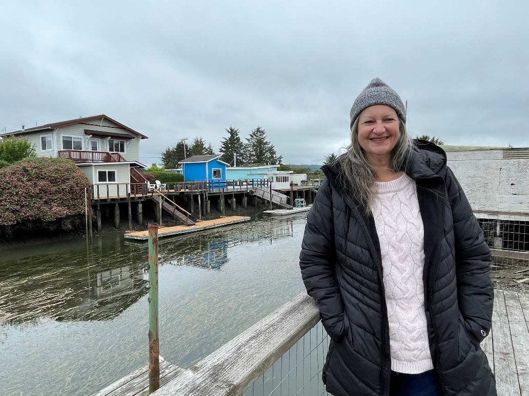
Join us for the first in a special series on sea level rise featuring local residents who share their thoughts on the challenges and potential solutions facing our region.According to King Salmon resident Nate Faith, “If we don’t do anything, we’ll have significant flooding often enough that it may impact our ability to live here.”Many thanks to Marnie Atkins, Jerry Rohde, Nate Faith, Troy Nicolini, Adam Canter, and to Jessie Eden, who produced this episode with funding provided by the California Coastal Commission Whale Tail Grant Program.
Read more …
Huge coastal barriers could protect the world’s cities. But they’ll have unexpected costs.There are many kinds of coastal protection. Some of the most effective are entirely natural. Marshes, mangroves, and even sandy beaches can absorb the destructive power of waves, helping to soak up water and energy that would otherwise wreak havoc. Engineers can fortify a shoreline by replenishing lost sand, or by adding rock, wood, or concrete. It’s also possible to augment the shore. A rock pile that parallels the coast, shielding the beach from waves, is called a breakwater. A pile that juts out to sea, trapping sand on one side, is called a groin. All of these measures are already widely used on coastlines around the world.Hard seawalls may be the bluntest instrument in coastal engineering. Typically, they are made from concrete, stone, wood, or metal, and rise vertically from the shore. But a wave that strikes a seawall never breaks and dissipates, as it would on a beach; instead, it bounces off like an echo, its destructive force intact. In the end, the flow of water and sediment is a zero-sum game. For a wave to spare one place, it has to strike another; for sand to accumulate somewhere, it has to wash away from somewhere else.When I ran these critiques of coastal protection by Rachel Gittman, a marine ecologist at East Carolina University, she offered another reason to worry about seawalls. Natural habitats already serve as powerful buffers against flooding, she said. They absorb water and energy; this is why marsh and mangrove restoration is often the best way to protect a coast. By contrast, when coastal communities wall off the shoreline, they tend to trap ecosystems between the water and the wall, causing a process called coastal squeeze. “It can be a slow drowning of those habitats,” she told me. When they disappear, we may be more vulnerable than when we started.Keep reading
Governor Newsom recently signed SB 272, which requires local governments to create sea-level rise plans based on the best available science, conduct vulnerability assessments — including for at-risk communities — determine adaptation strategies and sketch out a list of recommended projects with timelines.The governor vetoed a similar bill last fall, noting budget constraints. Laird said his team worked with Newsom’s office to ensure there are dollars in the budget for local planning on sea-level rise. California’s final budget included $1.1 billion in investments for coastal resilience programs over multiple years.“The storms that we just had [last winter] changed the equation for people who didn’t even realize they had some of the coming impacts,” he said.Local governments have until January 2034 to develop sea-level rise plans.“Everybody now sees that deadline ten years from now and recognizes that this is real,” said Larry Goldzband, Executive Director of the Bay Conservation Development Commission (the analog to the Coastal Commission in the San Francisco Bay Area). “There’s going to be huge amounts of social and economic dislocation due to flooding if we don’t adapt.”Read more about California Mandates Coastal Cities Plan for Future Sea-Level Rise
In a recent paper in the Humboldt Journal of Social Relations, 25 co-authors write that sea level rise “presents people in our region with an opportunity to work together and envision a more just and resilient future,” write the authors, who came together from a wide swath of academia, Indigenous Tribes and community as well as government organizations. All authors are members of the interdisciplinary Sea Level Rise Institute at Cal Poly Humboldt. The SLRI formed in 2018 as a multidisciplinary initiative to incubate new “equitable, resilient and transformative” sea level rise solutions. Sea level rise “can only begin to be understood and addressed if different disciplines and types of knowledge are brought together,” the authors write.The paper highlights five areas of expertise in particular: Indigenous knowledges, geosciences, marine and coastal science, engineering and social science. Taking inspiration from the seminal book “Braiding Sweetgrass” by Potawatomi Nation citizen and biologist Robin Wall Kimmerer, the authors state: “We can envision these different approaches or strands winding together and, in the winding, shaping and influencing one another until neither the individual disciplines nor the overall approach remain the same.”Complex problemsThe scale of the problem is made clear at the abandoned lumber mills that dot the Northern Californian coast, where the soil is often contaminated with wood-preserving toxins. The mills sit inside the levees, but the ground beneath them is sinking — as is much of the land around Humboldt Bay. The region lies atop two convergent tectonic plates, that is with one plate sliding beneath the other. As the lower plate descends, it’s pulling the upper plate with it. “Southern Humboldt Bay is going down at a rate of about 4.5 millimeters a year and the sea level is rising 1.5 millimeters per year, which means that the sea level is actually rising five to six millimeters per year,” says Patton. By 2060, the sea level of Humboldt Bay is expected to be as much as three feet higher than today.Engineering higher dikes might seem like an obvious fix — but this won’t solve the problem. As the sea rises, the groundwater in the inland soils get pushed upward, too. This can cause areas behind the levees to flood from below and wash toxins from the contaminated mill soil into supplies of drinking water.Braiding different strands of knowledge togetherChallenges like this are “going to take a lot of smart people to figure out,” says SLRI member Jennifer Kalt, the director of the non-profit Humboldt Baykeeper and a co-author of the paper. Engineers may focus on 'hard' structures, like sea channels and sea walls, while marine and coastal scientists focus on 'soft' solutions like natural shorelines that buffer waves and restoration of contaminated coasts. Geologists can model where land movements create particularly high risk. Social scientists will work with landowners and communities to decide where to fight sea level rise and where to retreat. Indigenous tribes who have held stewardship of the land around Humboldt Bay since time immortal can contribute centuries worth of knowledge of the coast and its wetlands.“Our areas of expertise overlap. And if they don’t, then maybe they should,” says Kalt. “Sometimes when you're in your little silo, you don't really know about other perspectives.”Read more about Transforming Sea level Rise into an OpportunityRead more about Transforming Sea level Rise into an Opportunity
Rising seas and hammering waves could radically transform California beaches by the end of the century, with 25% to 70% of the state’s beaches eroding completely, according to a USGS study that that incorporates historic rates of coastal erosion and projections for sea level rise and future wave heights. “What people don’t realize is it’s now: We’re losing our beaches now,” said Donne Brownsey, chair of the California Coastal Commission, the agency in charge of securing public access to coastal areas. The Coastal Commission encourages cities to avoid what’s called “armoring” — building seawalls or using rip-rap to protect seaside homes and infrastructure, because such hard structures cause beaches to erode more quickly. “The community needs to be aware — if you choose this option it’s going to accelerate the erosion of your beach,” Brownsey said.Unfortunately, 14% of the entire coast, and 38% of Southern California’s, has already been armored.Alternatives to armoring include natural options like restoring sand dunes and the more expensive choice called managed retreat, or moving infrastructure out of harm’s way. As an example, Caltrans just finished construction on a $26 million project to move Highway 1 by Bodega Bay’s Gleason Beach 400 feet inland and away from eroding cliffs.“With many locations in California, the whole point is being there for the beach,” said Amy Hutzel, executive officer of California State Coastal Conservancy, an agency that funds projects to combat sea level rise. Hutzel noted that because one-fourth of the coast is managed by the state park system, the state has the authority to make similar changes on a large part of the coast. “We don’t want to save the parking lot at the very expense of the place people want to visit.”Critics say Gov. Gavin Newsom’s decision to cut $6 billion (out of $54 billion) from climate spending in the state budget, which includes reducing the allocation for coastal resilience this year by $561 million compared with what was spent in 2021 and 2022, could make the state’s climate goals harder to achieve. Communities within San Francisco Bay alone will need $110 billion to protect against sea level rise, according to a recent economic study by the Bay Conservation and Development Commission.“I don’t think that we are acting quickly enough,” said Mandy Sackett, California policy coordinator of Surfrider Foundation, which works to preserve beaches. Read More
 Join us for the first in a special series on sea level rise featuring local residents who share their thoughts on the challenges and potential solutions facing our region.According to King Salmon resident Nate Faith, “If we don’t do anything, we’ll have significant flooding often enough that it may impact our ability to live here.”Many thanks to Marnie Atkins, Jerry Rohde, Nate Faith, Troy Nicolini, Adam Canter, and to Jessie Eden, who produced this episode with funding provided by the California Coastal Commission Whale Tail Grant Program.

